
Slide Show:
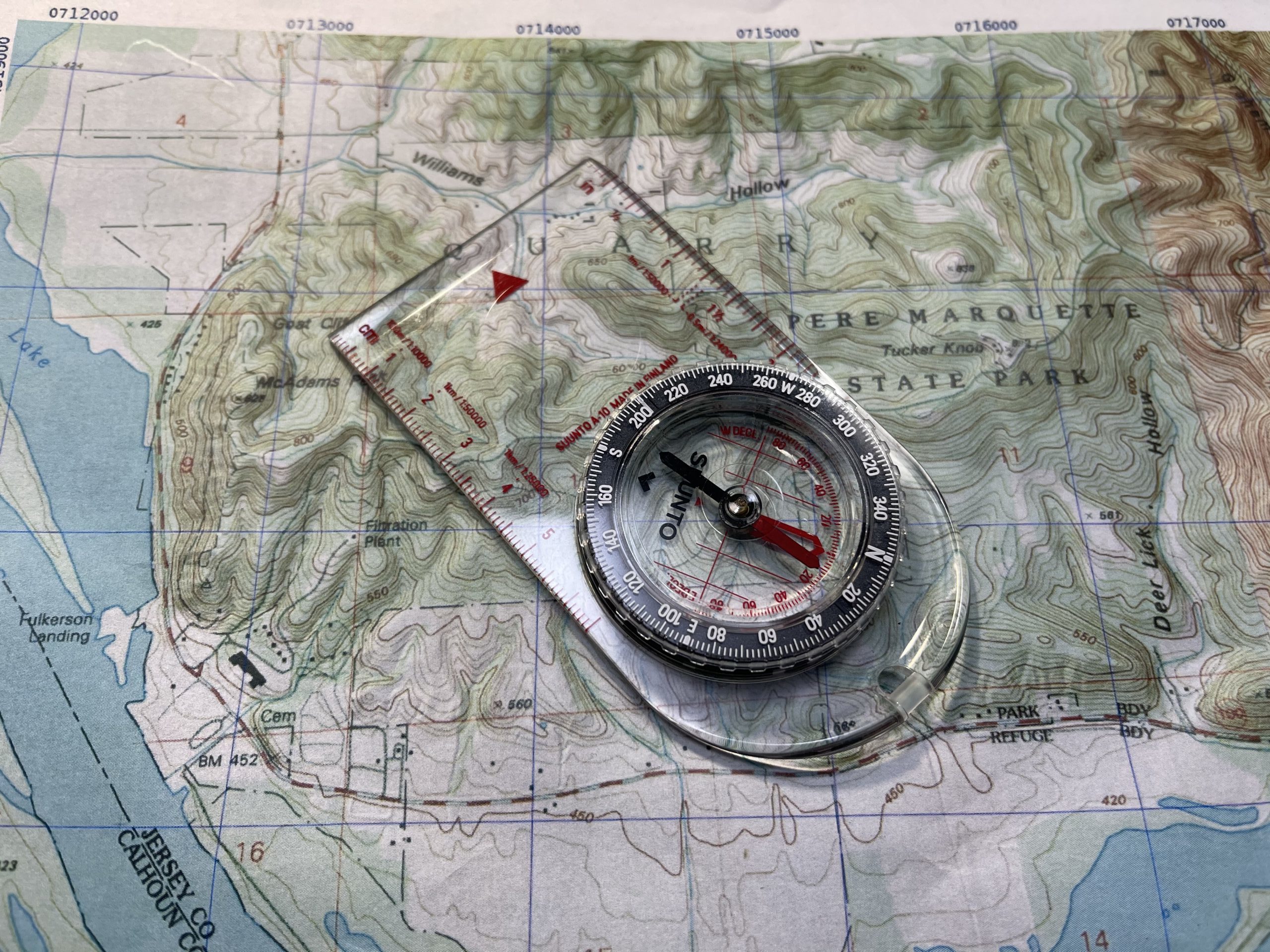
Maps:
Links:
- https://caltopo.com/ – Print custom maps at home
- https://sartopo.com – Same as Caltopo but if you are a first responder/military you get a free upgrade
- mytopo.com – A place to get custom maps printed
- https://store.usgs.gov/map-locator – USGS Maps Order both custom maps and predefined maps. Also has historic maps on the US
- https://www.ngdc.noaa.gov/geomag/declination.shtml – Where you can check your current declination
- http://www.earthpoint.us/Convert.aspx – Converts coordinates from lat/long to UTM or MGRS
- Maptools.com – UTM, MGRS, and Lat/Long tools for use with maps
- https://www.itstactical.com/skillcom/navigation/landnav-101-introduction-to-map-terminology/ – Land Nav Tutorial
- https://www.itstactical.com/skillcom/navigation/the-complete-guide-to-land-navigation-with-the-military-grid-reference-system/ – MGRS Tutorial